Gross Reservoir via Forsythe Canyon
Type … Hike, Woods Wander
Highlights … Waterfall, Lake, Creek
Seasons … Late Spring, Summer + Fall
Difficulty with Kids … Easy to Moderate due to a few short steep sections
Trail Details … 3.1 Miles, Out + Back (AllTrails)
Closest Town … Boulder + Nederland
Shade … Plenty
Parking Situation … Plenty
Potty Situation … Pit toilets at trailhead
I love finding alternative hiking spots that don’t involve the i70 corridor, and this one checks all the boxes. Almost the entire path runs parallel to a creek giving kiddos plenty of opportunities to stop and splash, culminating in an awesome waterfall and then the reservoir. This trail also provides a ton of shade along the way and has a kind of “FernGully” vibe.
The reservoir itself is a bit lack-luster but the stream that feeds it widens out right before the lake and is the most awesome place to play and hang for a picnic lunch or snack.
TRAIL TIPS
Safety tip. When you get to the waterfall, DO NOT SCALE DOWN THE FALLS. The AllTrails map is confusing here (and there is zero signage). We saw several groups going the wrong way down the falls and it looked scary af especially with kids in tow. If you dead-end into the waterfall, you’ve gone too far and need to back track to hit the trail again. The trail will take you up a steep but short section to the far left of the waterfall.
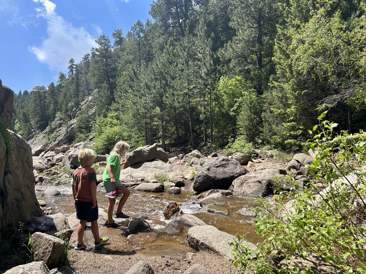
Creek before Reservoir. When you get to the spot where the creek widens below the waterfall and before the reservoir, hug the left hand side of the trail and go around the big rock (vs. crossing the creek onto the right side of the creek bed). It doesn’t look like it, but this is the easiest way to get to the reservoir. It just requires a small bit of rock hopping.
Buggy at times. I’ve read that it can be buggy sometimes so pack the bug spray.
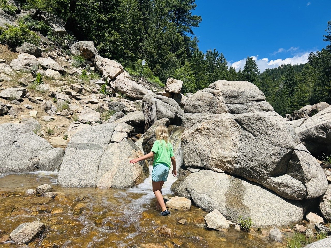
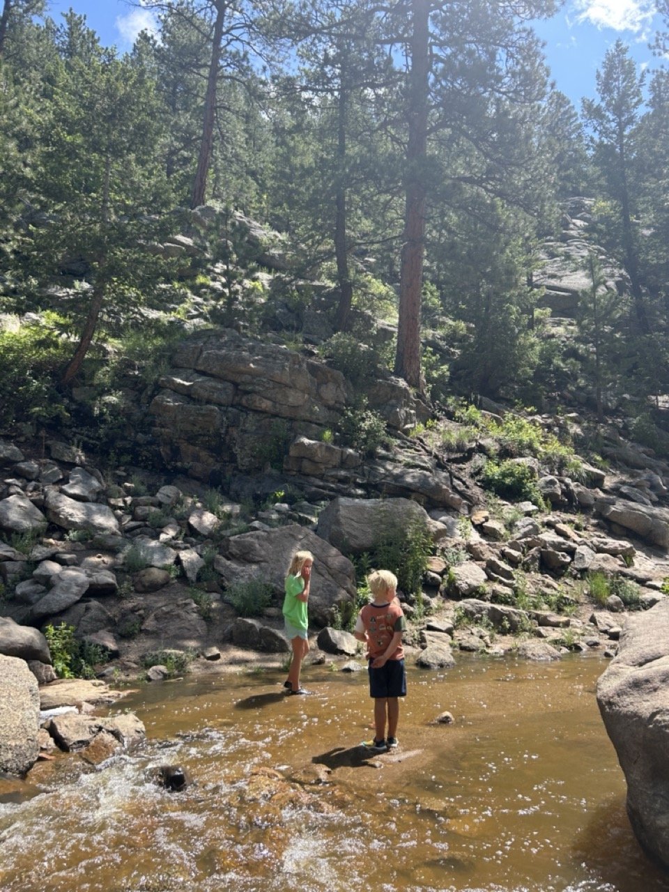
Bring water shoes for extra fun! There is a lot of water along this trail so I suggest bringing water shoes or a change of socks for littles. Be prepared for wet kids on this one!
Download your driving map. Pay attention to driving or download the GoogleMap as there are several turns to get to the trailhead and no service when you leave! We ended up in Boulder instead of Black Hawk because of this on our way back 🙂
Fishing. I’ve heard there are salmon in the reservoir but never fished here. Worth a shot if you’re an angler! Lots of people also fish with a conventional lure set-up at the reservoir as well.

GROSS RESERVOIR MAP
The trail gets wonky at the waterfall. The trail veers left (straight up) right before you reach the waterfall. If you’re standing on top of the waterfall looking down, you’ve gone too far.
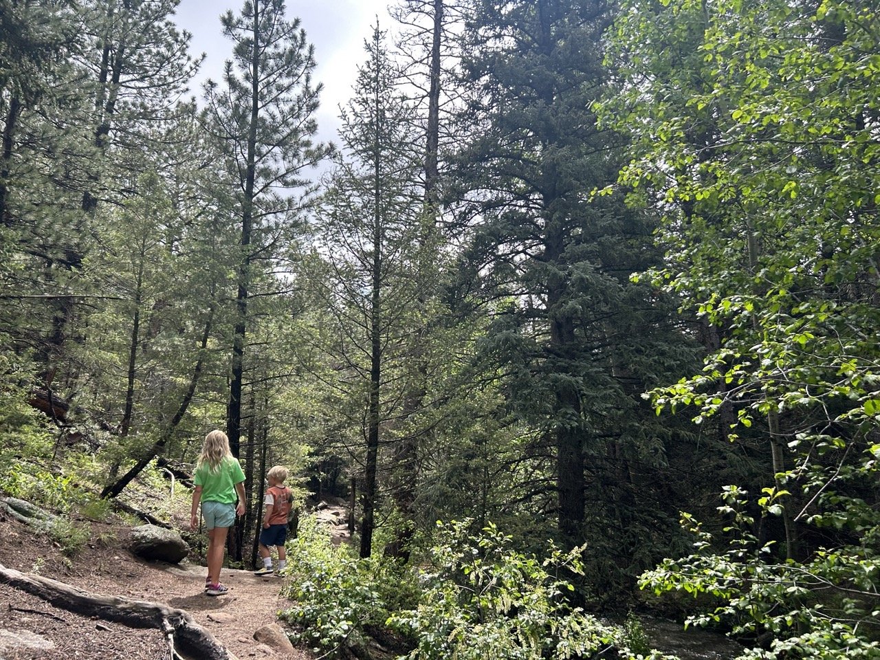
The trail has definite woodsy, fairy vibes
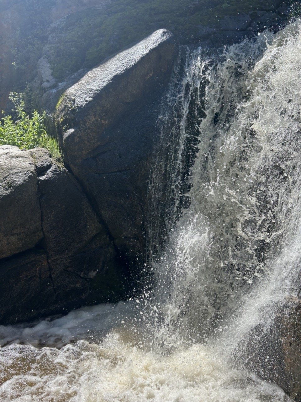
The waterfall is impressive!
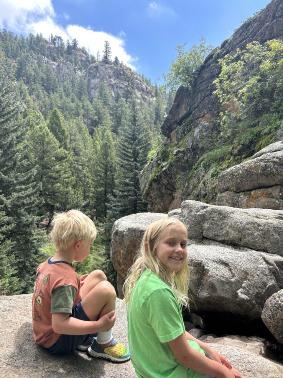
At the top of the falls
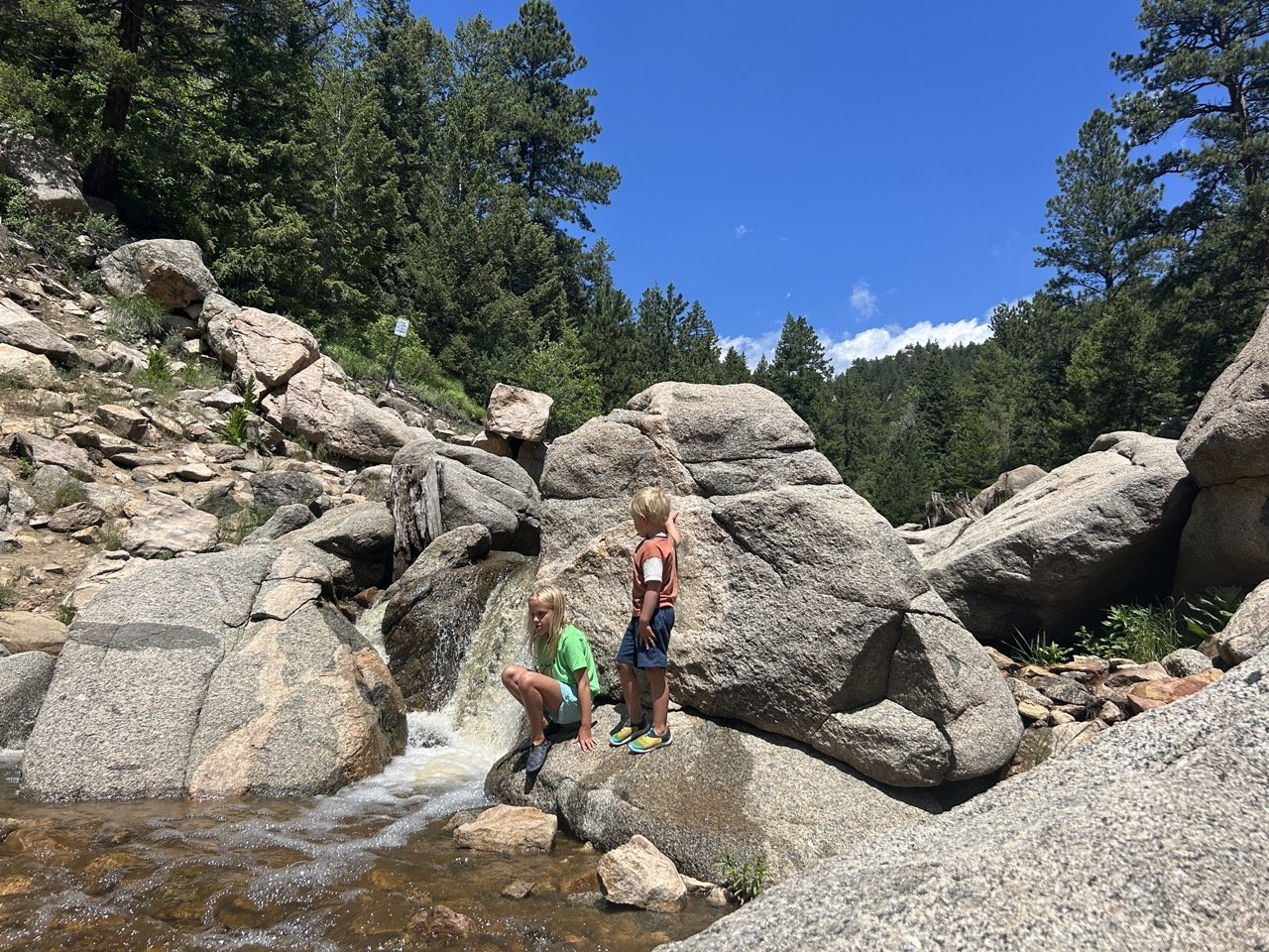
Mini waterfalls perfect for splashing
Water shoes were a win!
Stream that feeds the lake